South Dakota? Ce qui est dans le Dakota du Sud?
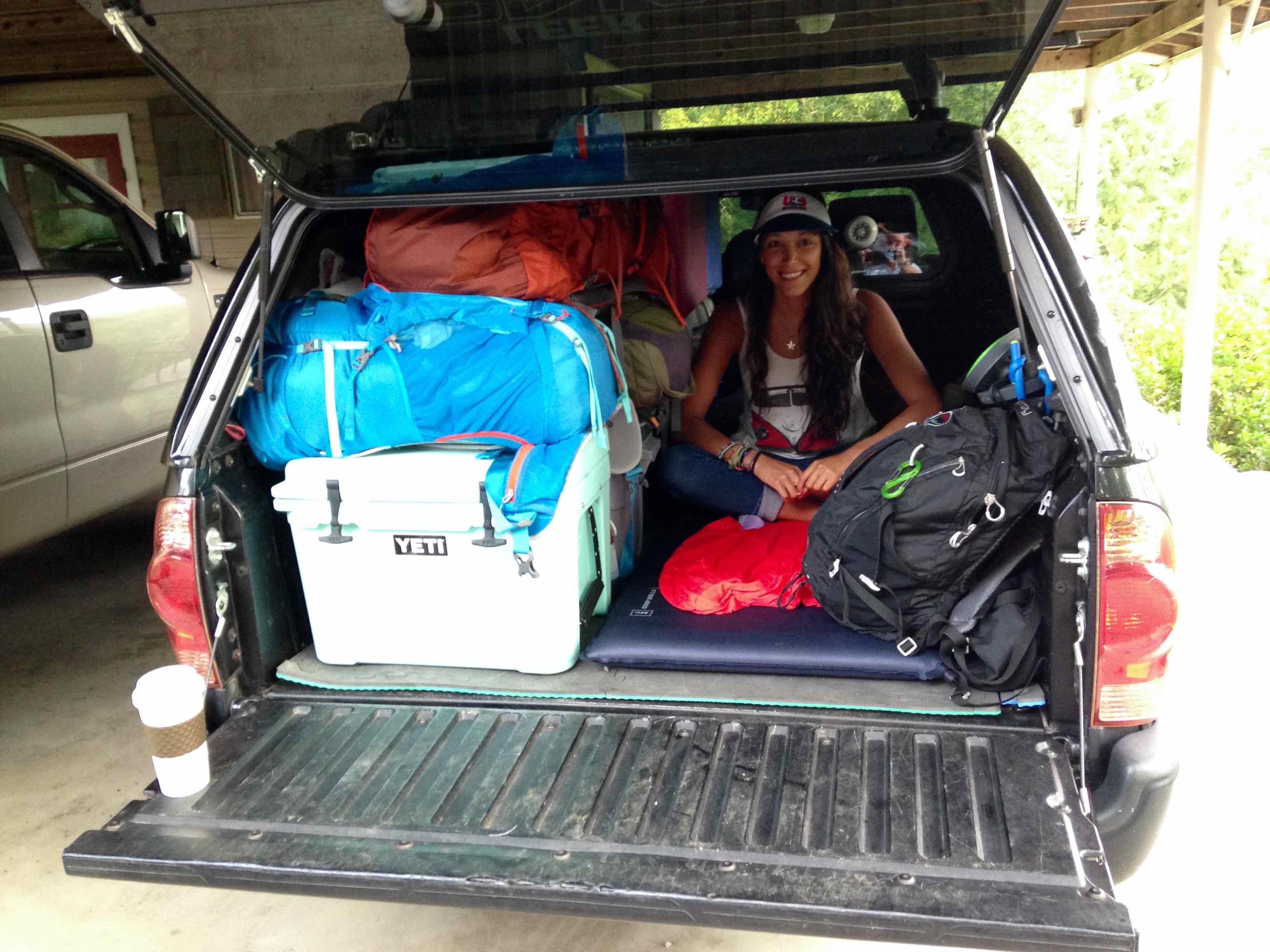
We had 2,276 miles to drive to Glacier National Park in NW Montana. Ce fut notre première destination & la plus longue étape de notre ouest sauvage USA route voyage, & I didn’t see how South Dakota warranted any sort of stop. Non seulement nous devons rencontrer quelques amis à Glacier en quelques jours, but we were also rolling 3 deep in my brother’s regular cab Toyota Tacoma, which meant that someone had to ride in the back of the truck for all 2,276 of those miles. Je voulais y arriver aussi rapidement & safely as possible.
“Believe me dude, the Badlands & Black Hills of South Dakota are awesome. J'ai eu envie de revenir en arrière & explore them better ever since I went a few years ago.” my brother responded.
His stamp of approval & my eagerness to get on the road were enough, donc à 7 heures du matin lumineux de Juillet 5e, 2014, nous nous sommes retirés de notre entrée en Géorgie pour commencer notre voyage sur la route ouest sauvage américain.
Disclosure: We were only 3 deep on this roadtrip from Georgia to Montana. Gio a volé au Colorado du Montana, and my brother & I continued the rest of the roadtrip solo. I’ll admit, it was dangerous & not convenient, but I really wanted my girlfriend to see Glacier NP. Avantage, looking on the bright side, il était juste 2276 sur le total 9,454 miles, si la vie de quelqu'un était en péril seulement 24% of the entire roadtrip.
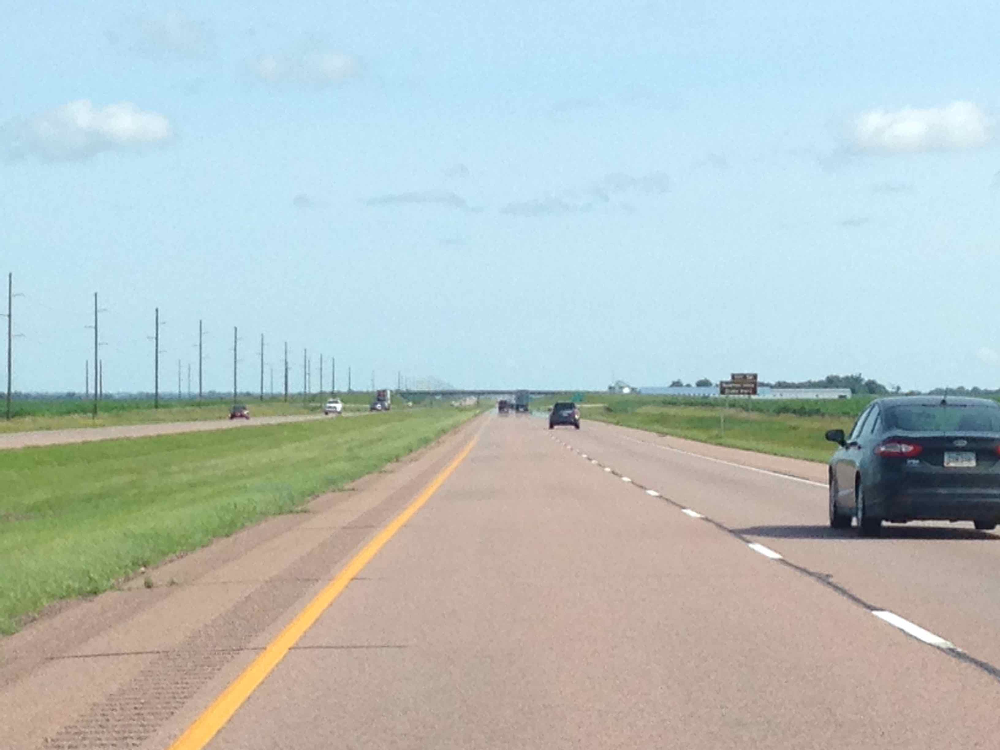
The photo pretty much represents the entire first part of the trip (au moins après avoir traversé le fleuve Mississippi jusqu'à la Mauterres)
Eastern South Dakota
Ehhhh, not so much. les presque 400 miles one must drive on I-90 across South Dakota are grueling. Faits saillants comprennent: en passant la ville natale de l'enfance de Laura Ingalls Wilder, finally crossing the Missouri River, & Wall Drug advertisements every 10 miles (more on that later).
Badlands National Park
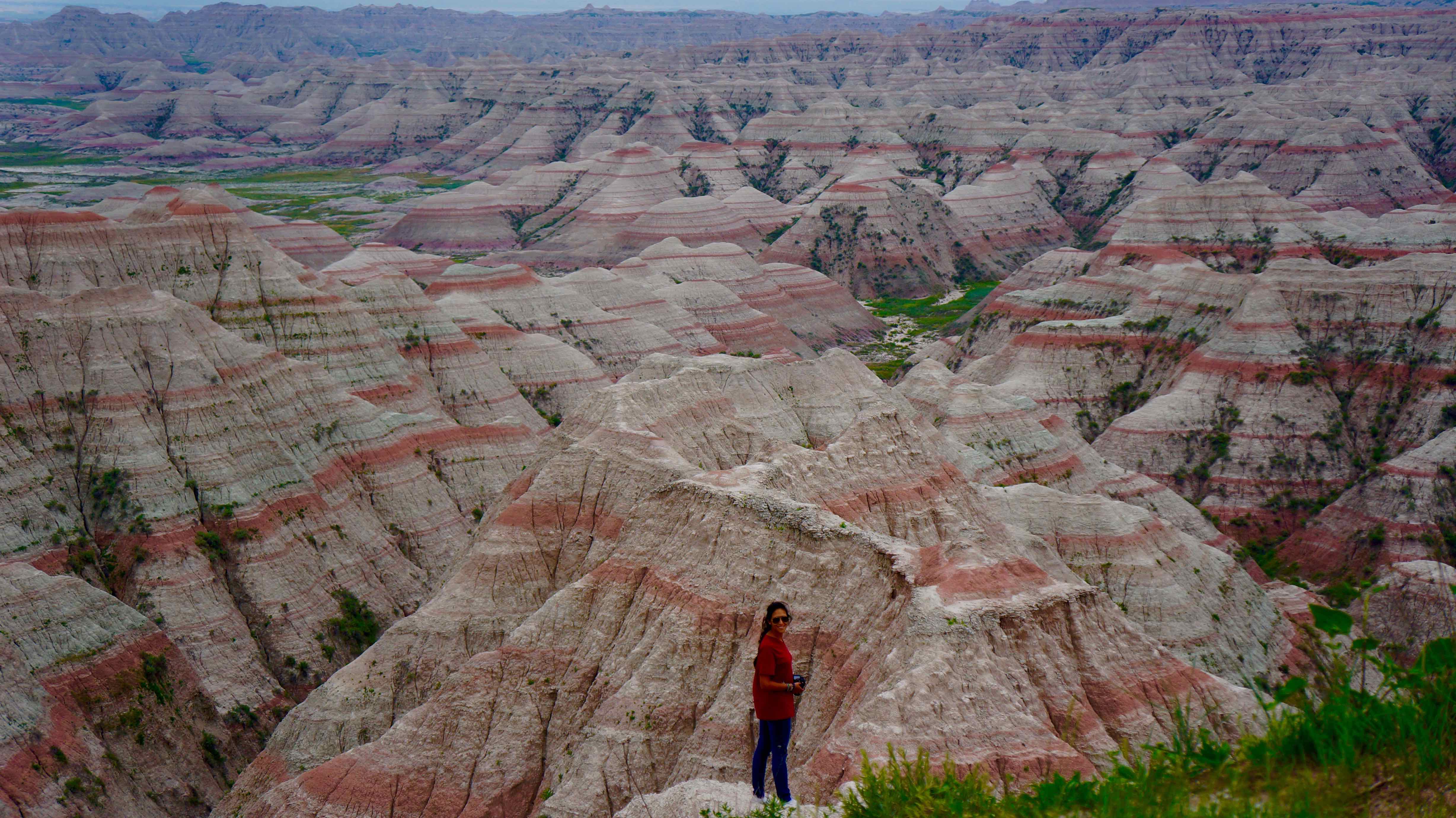
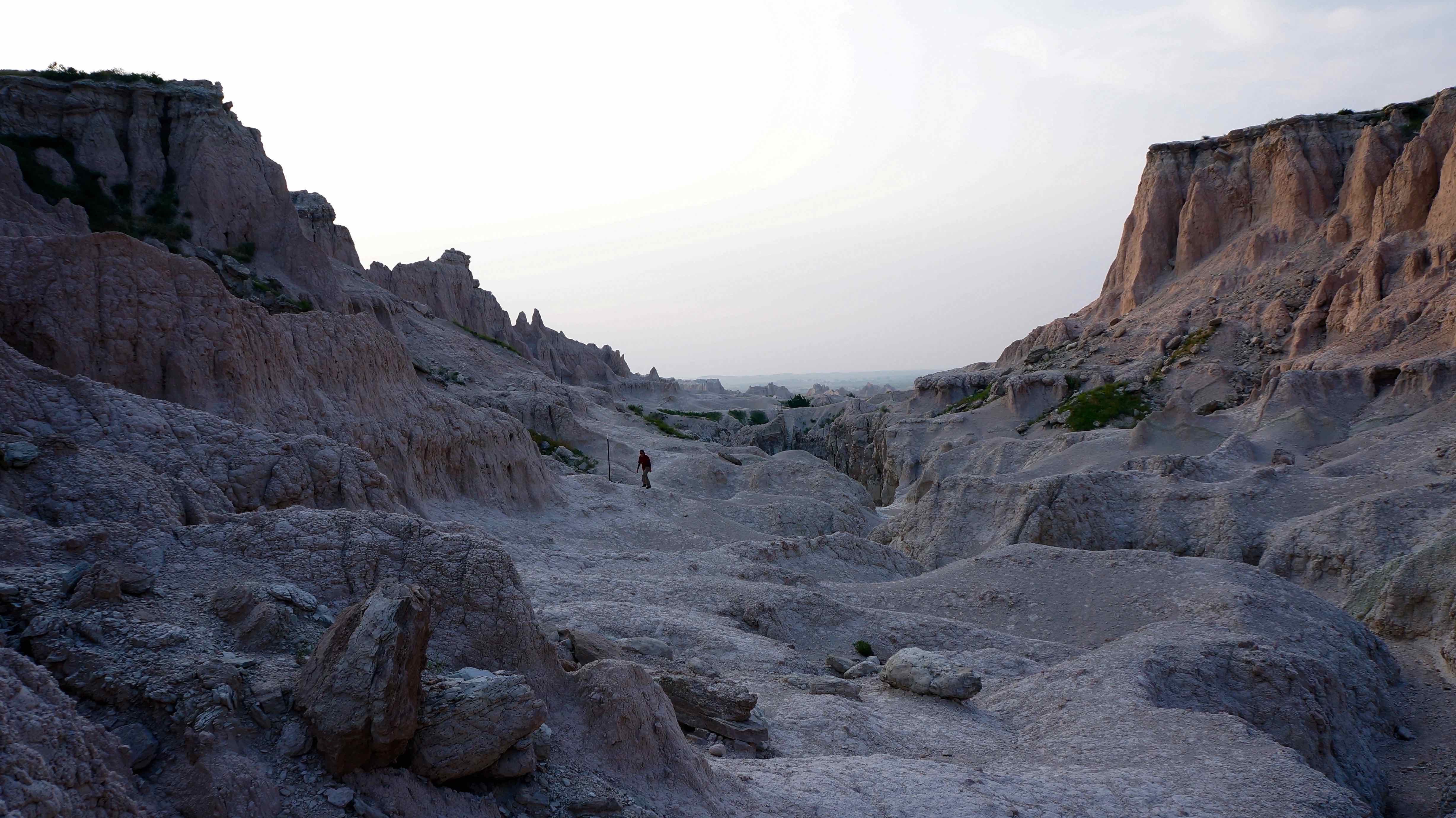
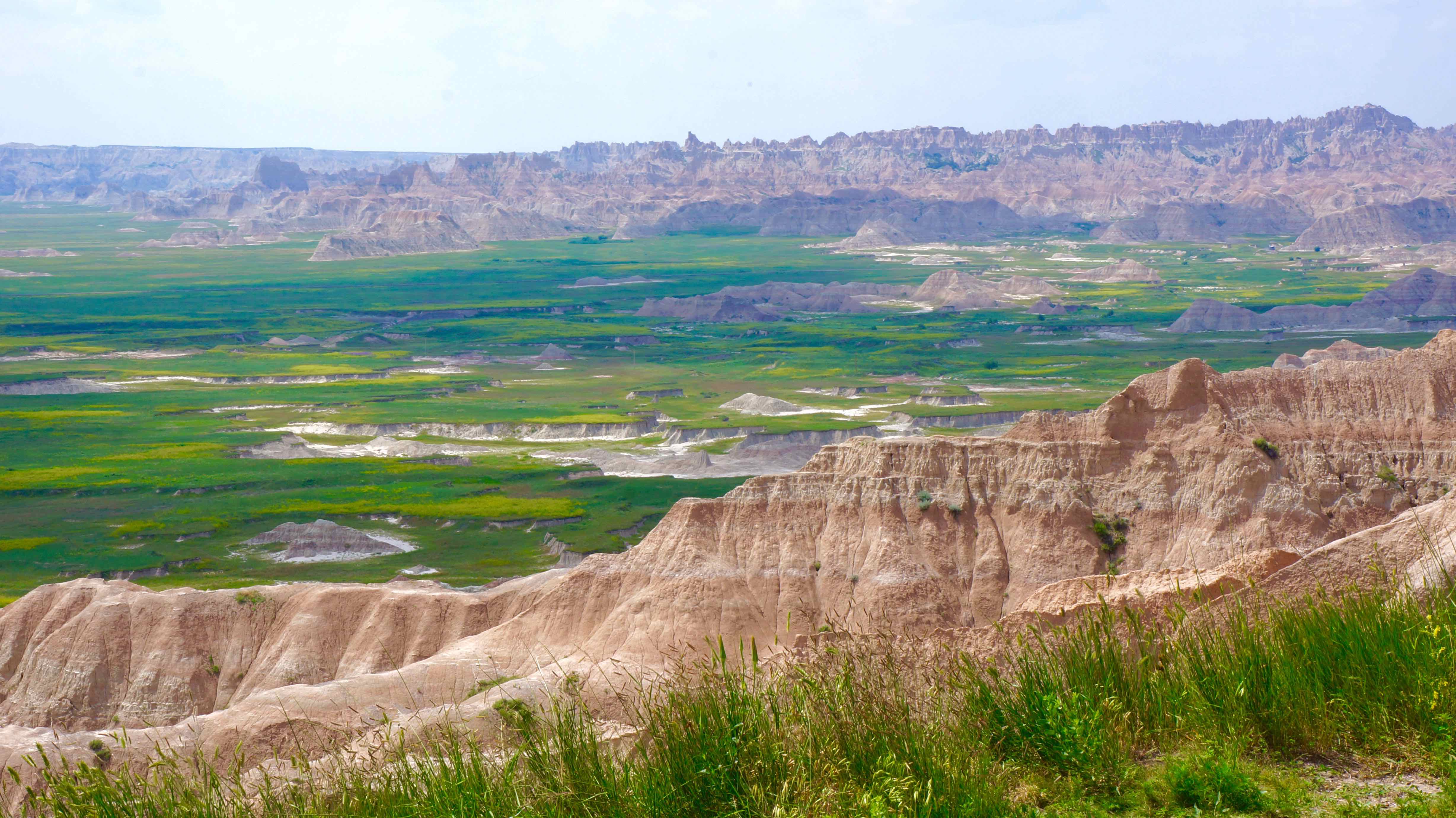
Just when you don’t think you can take any more Little House on the Prairie scenery, sharply eroded buttes, flèches, & pinacles commencent à passer de l'herbe de la prairie de apparemment nulle part. It’s hard to believe your eyes at first, not only because of the monotonous 400 miles that you just drove, mais aussi à cause de la façon dont tout change brusquement.
The Badlands name originally derived from the Lakota Indians, who called it “Mako Sica” or “land bad,” because of how difficult this land was to traverse as a nomadic group. L'érosion extrême qui a sculpté loin à ces buttes & gullies for years make it hard to even walk, much less attempt to ride horses or pull wagons through it!Not only do the Badlands look unique, but it’s also been a huge destination for archaeologists & scientists as ancient fossils of extinct animals like the sabre-toothed tiger & various dinosaurs have been found here.
Suggested time: 2 days
Ce que nous avons fait
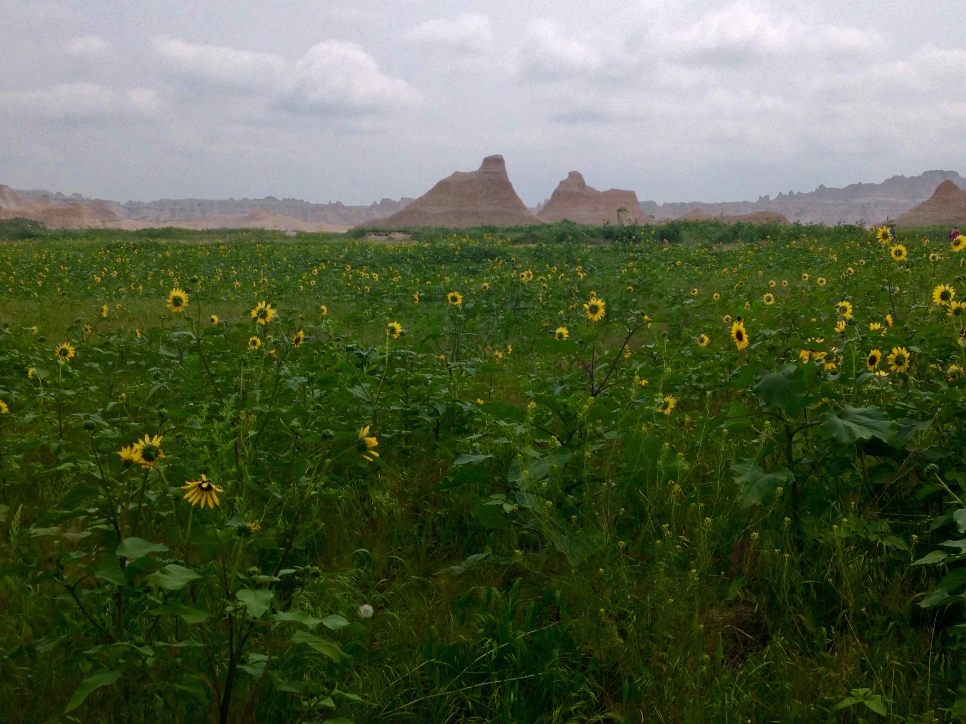
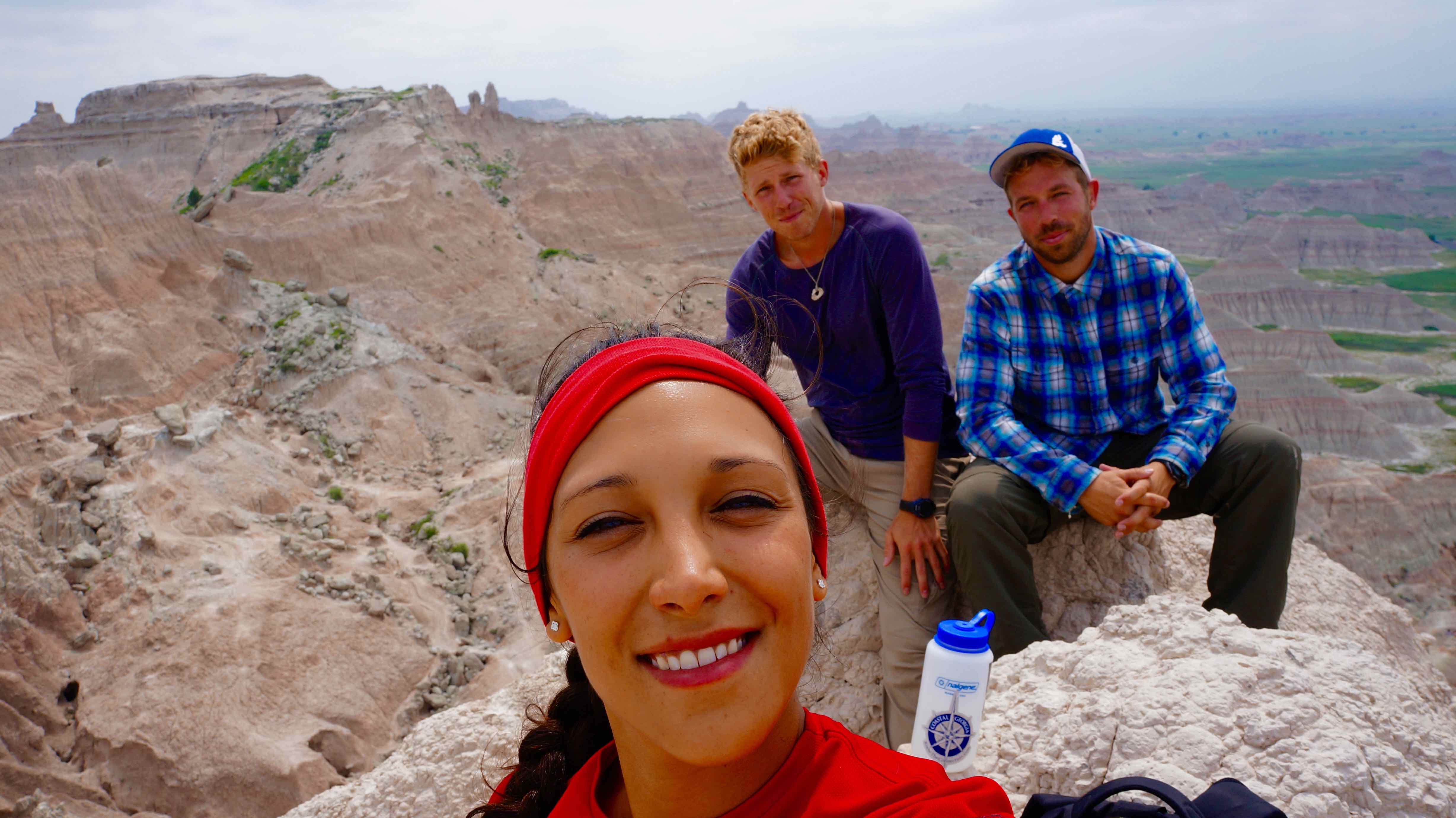
- Castle Trail – the longest trail in the park, this trail snakes through idyllic flower prairie land flanked on all sides by sandy, eroded pinnacles & washed out gullies. Vous ne devez pas faire de la randonnée de la boucle entière (10.8 miles), but can combine parts of the trail with other trails to double back for a shorter hike.
- Notch Trail – a shorty, but a goody. Randonnée à travers les sommets des collines croulantes, climb the rope ladder, and wander through a picturesque canyon to find the “notch” in the wall for a great view of the prairie lands.
- Saddle Pass Trail – best when combined with the Castle trail, the viewpoint provides one of the best vistas of the Badlands that there is.
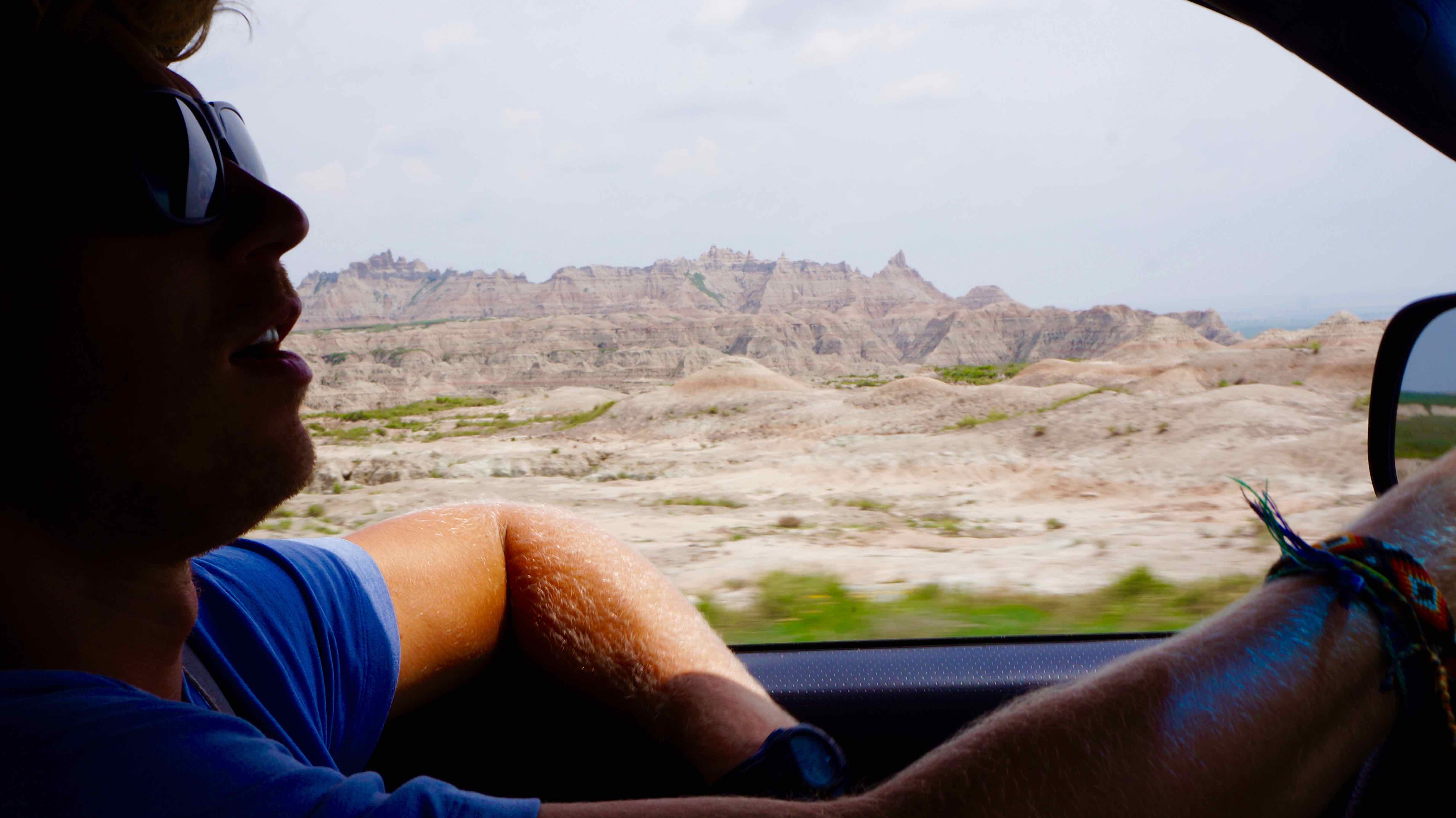
- Badlands Loop Road – this road winds on for 50 miles through the park, giving you one spectacular view of the Badlands wall after the other.
What I wish we did: Visitez le site de Wounded Knee Massacre.
Located only 45 miles away, sur la réserve indienne de Pine Ridge Lakota se trouve le monument historique national du champ de bataille de Wounded Knee. En décembre 29, 1890, une bagarre éclate entre un groupe d'Indiens Lakota & les États-Unis alors que l'cavaliers armée a tenté d'enlever le Lakota de leurs terres. Dans la confusion qui a suivi, between 200-300 Lakota indian men, women, & children, mostly unarmed, were massacred by the US Army.
The event is widely considered to mark the end of violent conflict between white settlers & Native Americans in the USA. Bien que je l'ai entendu le site actuel est pas très maintenu, Je souhaite toujours que j'aurais payé mes respects & solemnly reflected upon a very dismal chapter in American history.
Where to stay:
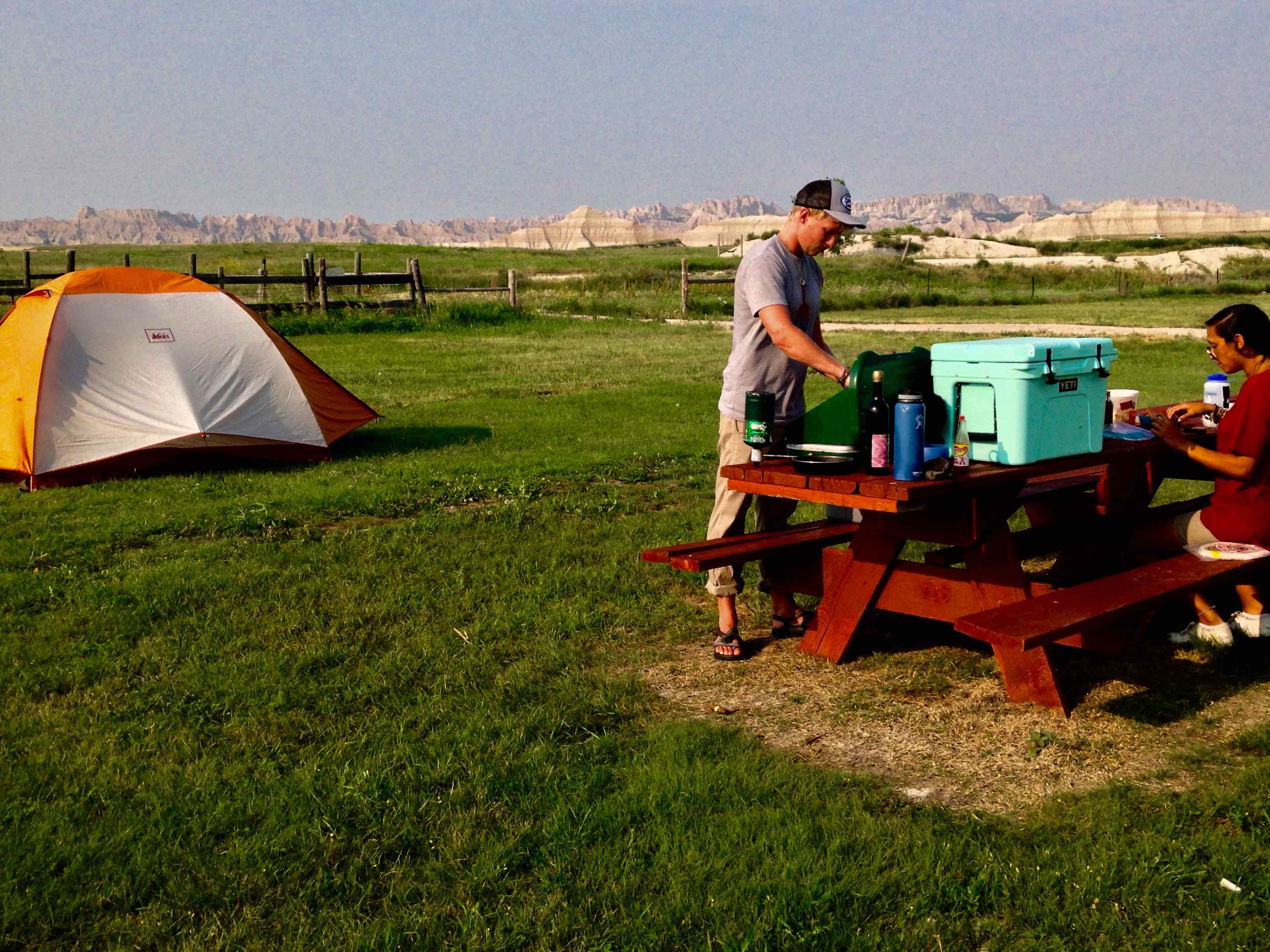
Cedar Pass Campground, located in the park, or Badlands Interior Campground, located just outside the park, where we stayed for $18/night.
The Black Hills National Forest
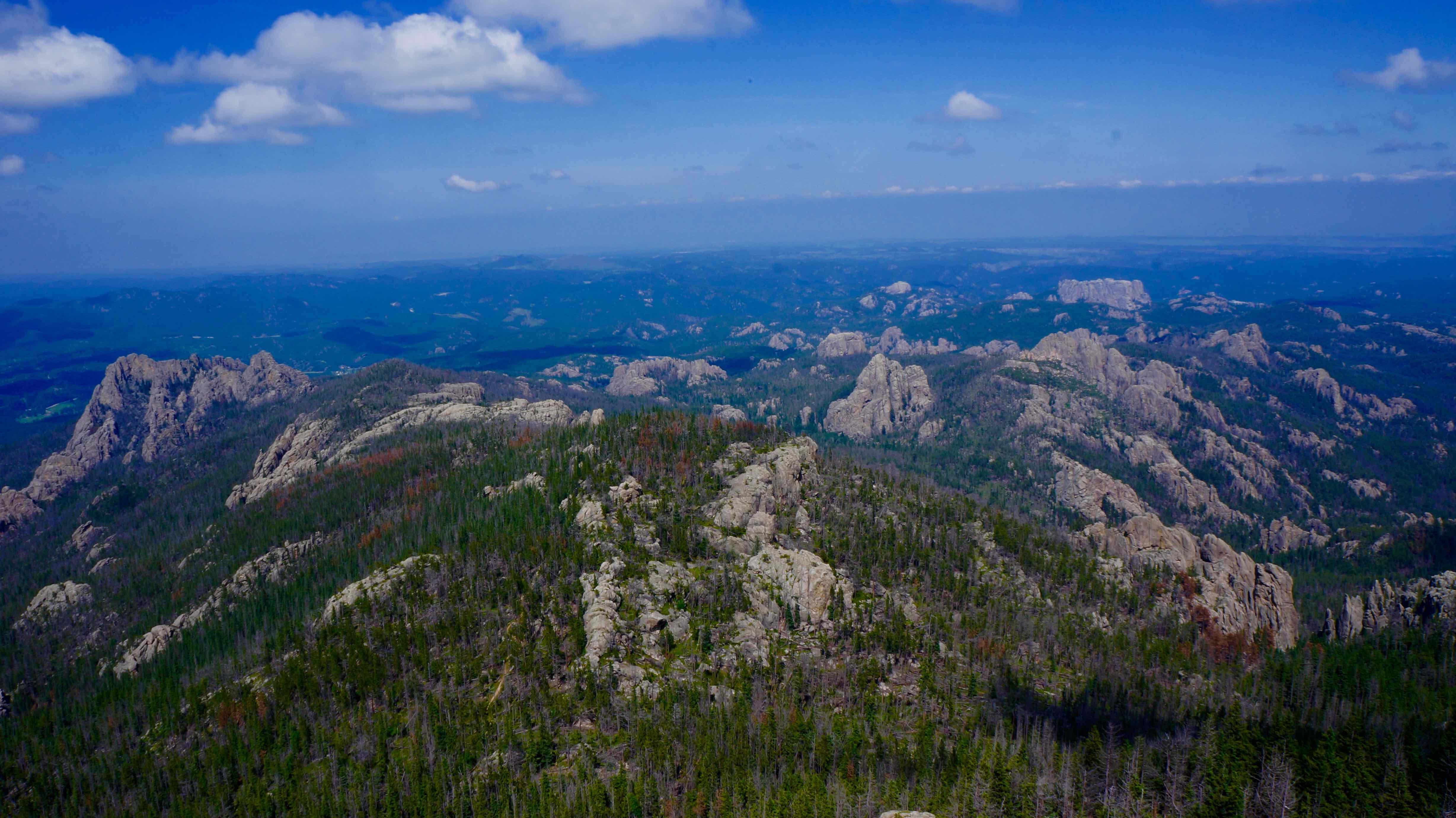
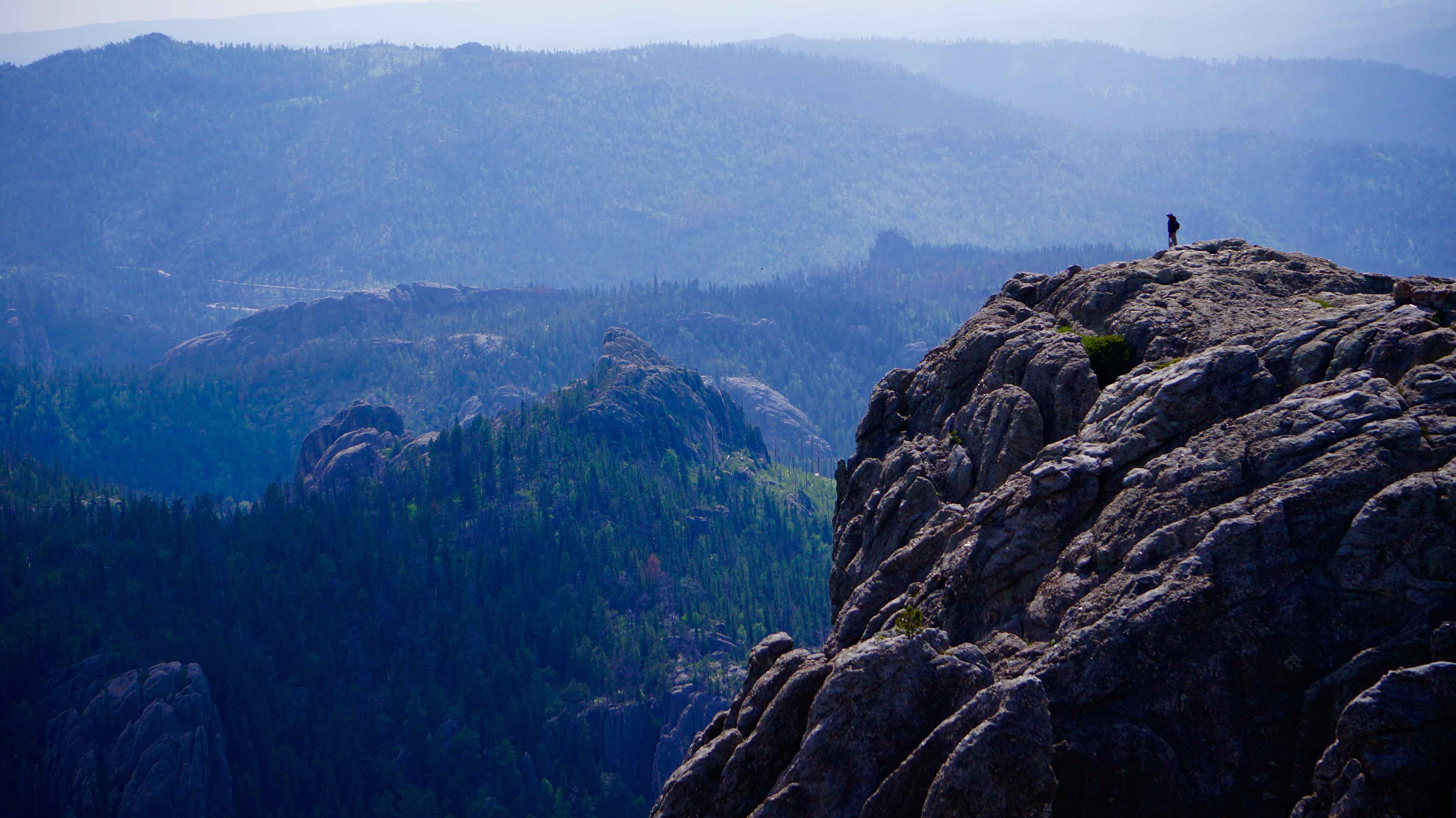
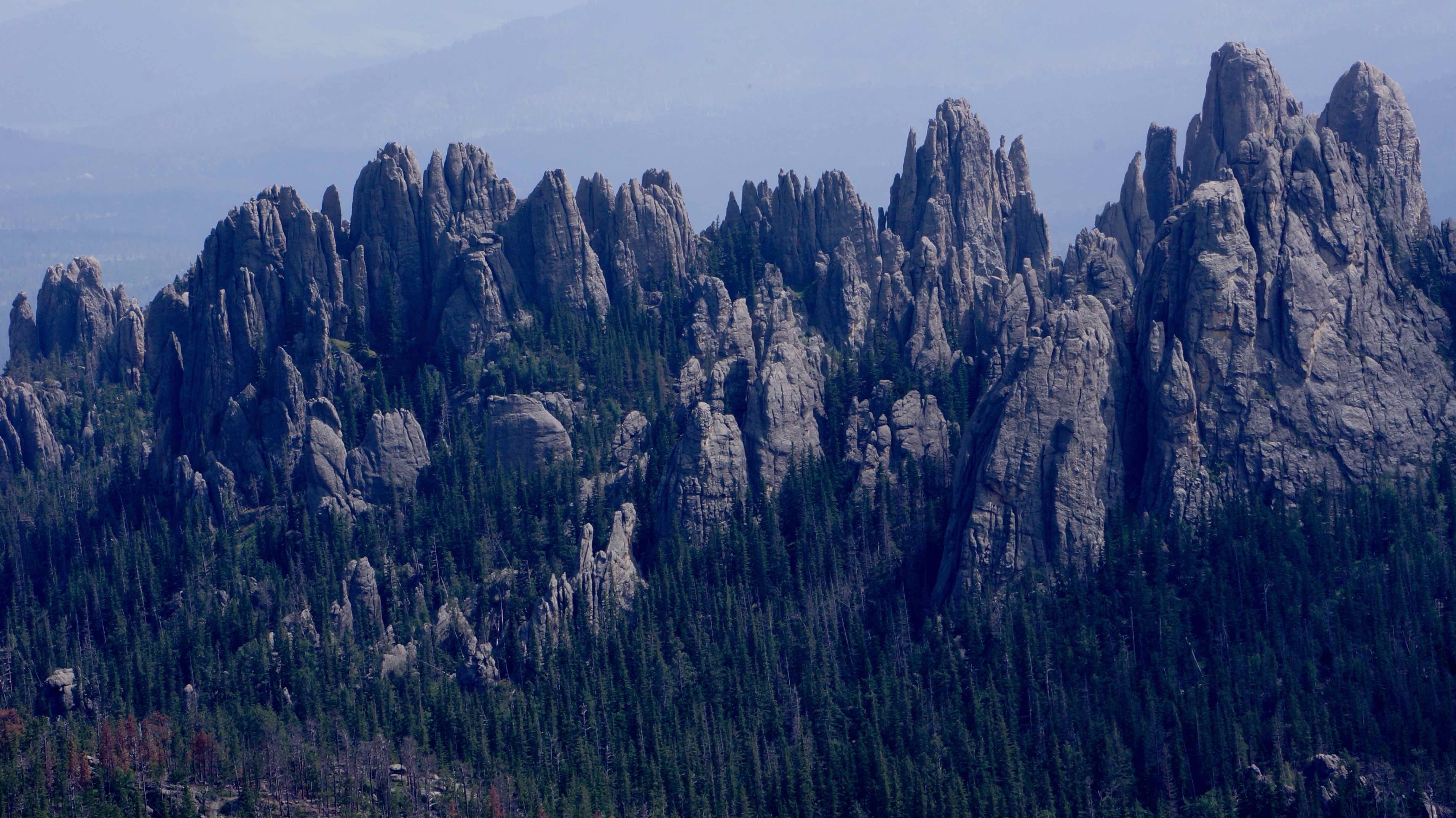
The Black Hills, located about an hour west of the Badlands, also got their name from the Lakota Indian tribe. La forêt à feuilles persistantes tentaculaire si dense couvre ces montagnes ondulantes qu'ils apparaissent en noir de loin. But it’s the countless boulder faces that sporadically jut out of the dense forest & dot the landscape that make this place really unique. Ce fut une de ces faces de pierre exposées qui a été choisi pour être l'emplacement du mont Rushmore.
Suggested time: 3-4 days
Ce que nous avons fait:
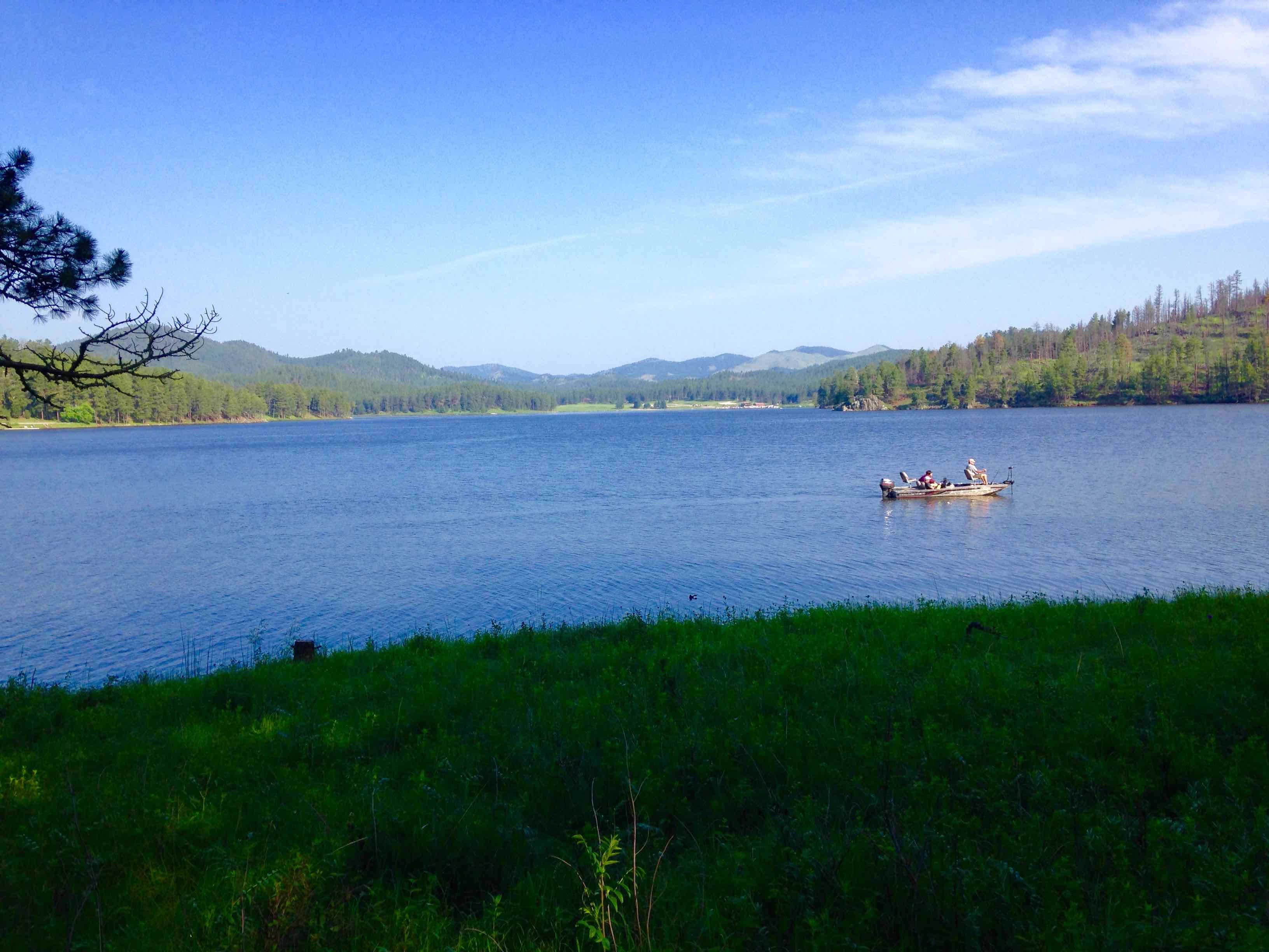
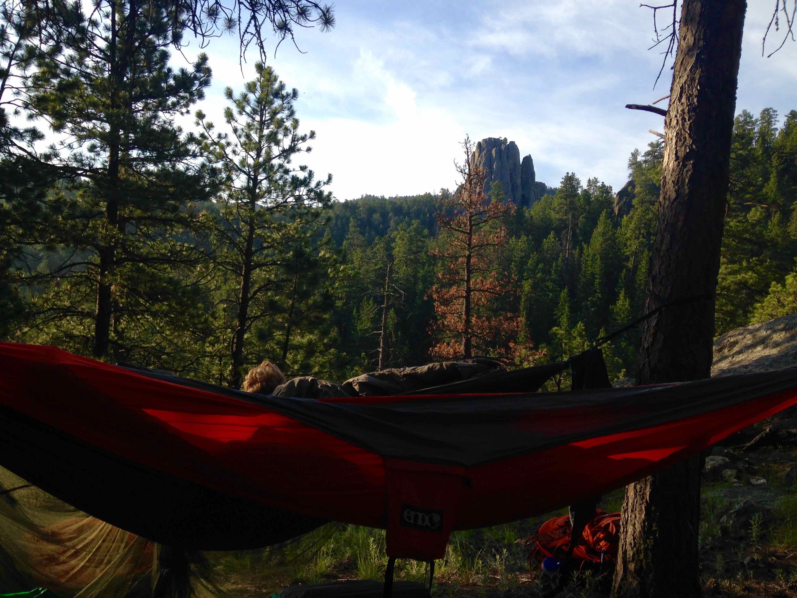
- Camped at Sheridan Lake – a beautiful lake, great for fishing, swimming, & picnicking. Nous avons campé sur la rive sud, but the north shore has a marina, boat ramp access, & the largest swimming beach in the forest.
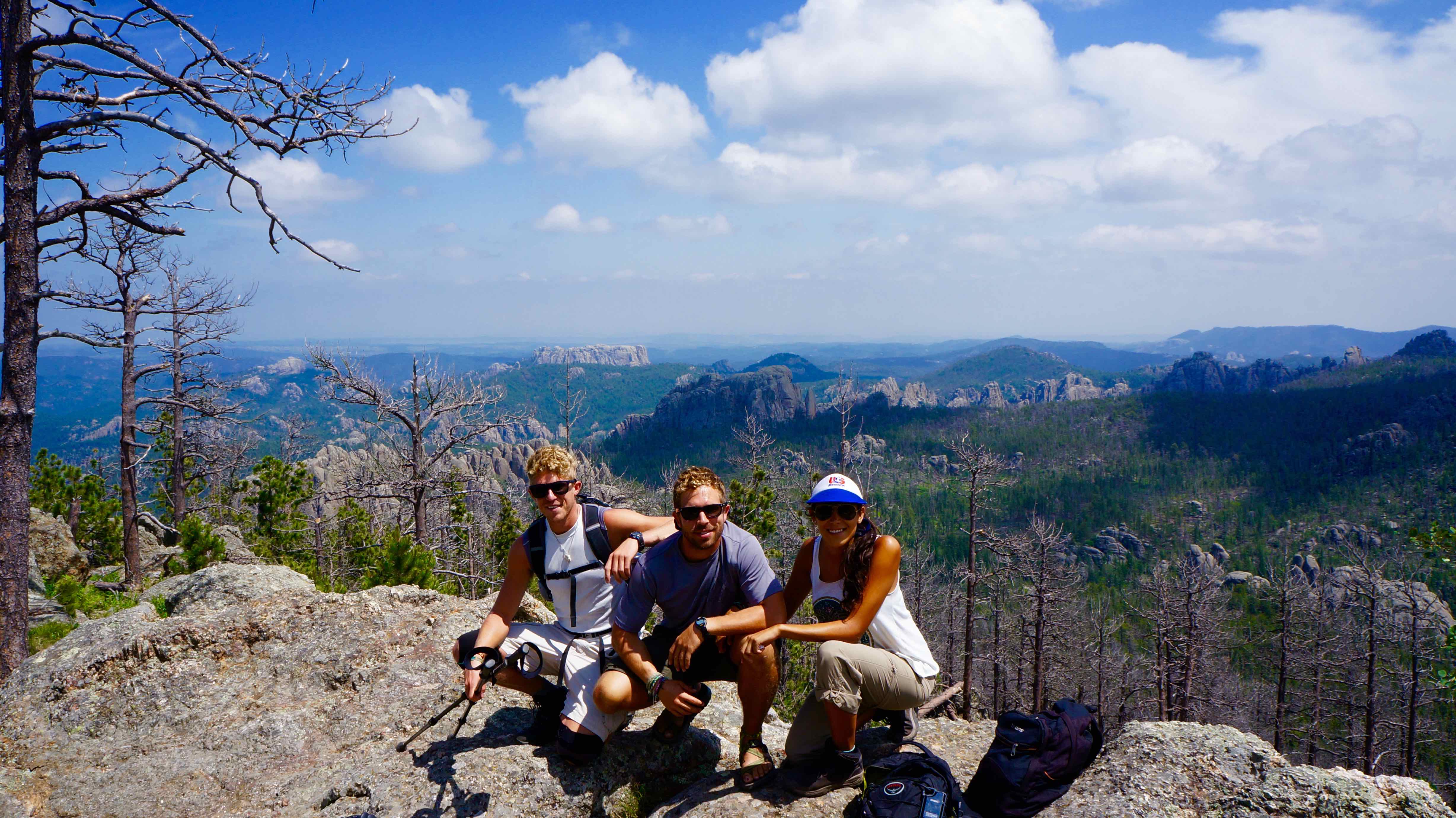
- Harney Peak – 7,242 ft (2,207m) tall (tallest point in the Black Hills & east of the Rockies). There are 2 main ways to hike Harney Peak: plus facile, popular trailhead is at Sylvan Lake and is a 7 mile roundtrip hike with 1,100 ft in elevation gain. The more challenging, less-trafficked route’s trailhead is at Willow Creek Horse camp. Il est à peu près 11.6 miles roundtrip, & has 2,200 feet in elevation gain.
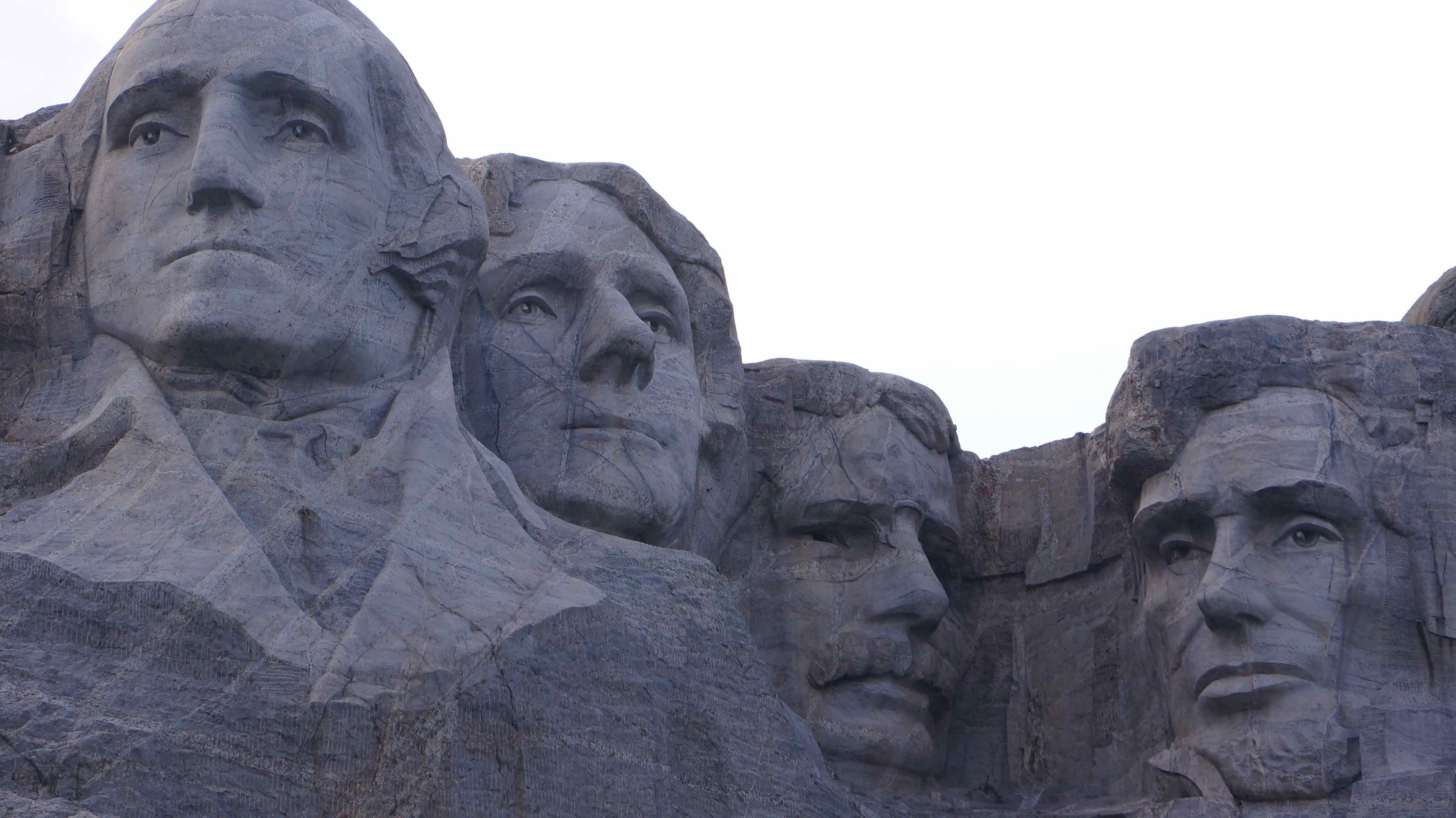
- Mont Rushmore – duh. Visiter le Mont Rushmore est une expérience obligatoire pour tous les Américains. Personnellement, I wasn’t expecting much more than thousands of fanny-pack toting tourists crowded around a fence and jostling for the best angle of George Washington’s nostrils. Et pour la plupart des gens, that’s exactly what it is. But being the restless adventurers we are, we found another way to take in this great national monument.
How We Made Mount Rushmore WAYYY Cooler
Part of the Rushmore experience includes walking the Presidential nature trail. C'est un 0.6 mile sentier pavé qui vous emmène dans une boucle passé différentes vues sur la montagne. Il est accompagné de plaques informatives sur chaque présidents’ life.
The loop is meant to be walked clockwise, and as we started the down the nature trail to the left of the main viewing platform, it didn’t take us 2 minutes to push a few boundaries. Comme le chemin continue tout droit vers les présidents, a forested hill rises steeply to the left. On pouvait à peine faire à travers les arbres ce qui semblait être des rochers géants plus près du sommet de la colline, and glancing over each shoulder, we quickly scampered off the path & up into the woods.
A 3-5 minute climb brought us to the top of this little side hill, which was indeed crested by giant, exposed boulders. Il a fourni le parfait, private view of Mount Rushmore. Vous êtes assuré d'être les seules personnes là-bas, et la solitude & jamais vu auparavant angle de l'un des sites les plus photographiés dans le pays donne certainement une sensation VIP.
I encourage any of you to try it out! Nous n'avons pas vu des signes prohibitifs en grimpant là-haut, & I don’t see any crime if you’re physically fit enough to scramble up some rocks. Vous ne l'avez pas entendu de moi si!
What I wish we did:
- Crazy Horse – an ode to the late Lakota indian chief, this monument will be even bigger than Mount Rushmore when (if) completed
- Custer State Park – named by Fox News as one of the World’s Top Ten Wildlife Destinations, Custer Park is actually a state park located with the Black Hills national forest. J'aurais aimé allé voir la faune, but also to drive the Needles Highway – a scenic road that winds through massive granite needles & ominous tunnels in the mountains.
Wall Drug – Worth It?
Negative, Ghost Rider.
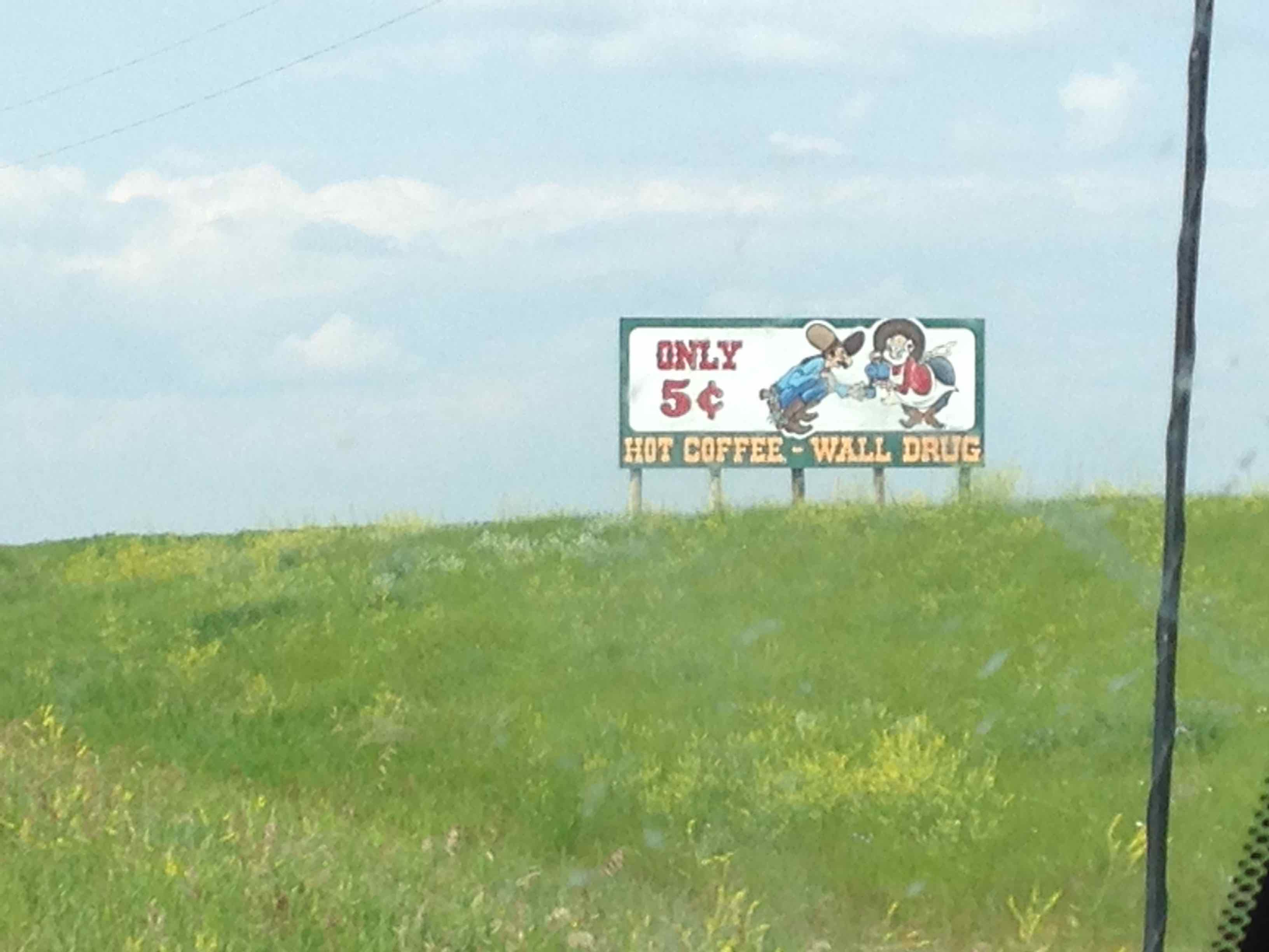
But after nearly 300 miles de“Wall Drug – Free Ice Water!” & “Visit Wall Drug – 5 cent coffee” or “Kids Love Wall Drug!” signs that dot the South Dakota prairie lands every few minutes, you come to the realization that a trip to Wall Drug is inevitable.
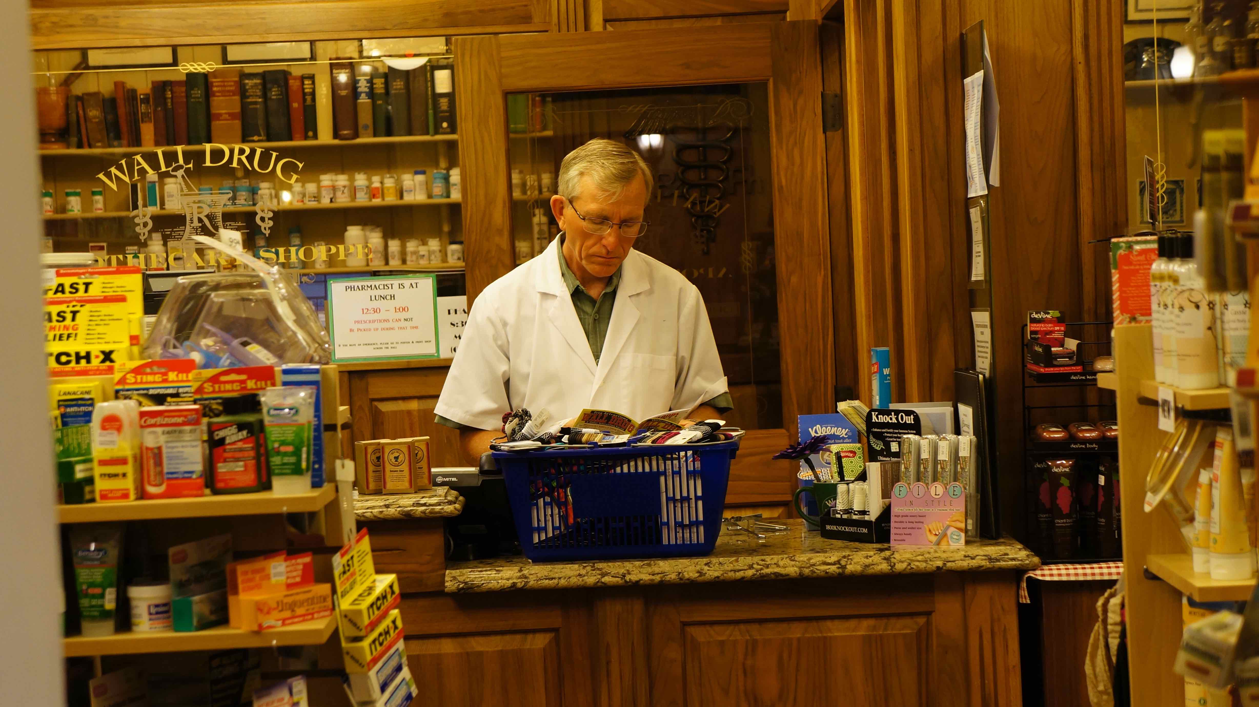
Sans oublier que la route excursionnistes ont pratiquement pas d'autre choix que de passer par la ville de Wall en quittant les Badlands & heading west. je veux dire, it’s right outside the park, so why not park & check it out?Wall Drug is basically one street designed to resemble a 1880-style western town with just about every gimmicky souvenir/trinket known to man. La première chose que nous avons vu quand nous sommes entrés dans était l'un de ces vieux école, effrayant bandes de marionnettes mécaniques, 90« s Chuck E. Fromagestyle – rappelez-vous les? Si rien d'autre, il vaut un bon rire, & au moins 15 cents worth of coffee 😉
South Dakota? Vraiment la peine!
Je pensais toujours du Dakota du Sud, un autre de ces breadbasket, États du Moyen-Amérique qui étaient mieux pour voler un peu plus & éviter complètement, mais je suis heureux que nous l'avons fait une destination & a pris quelques jours pour explorer. In fact, de tous les endroits où nous sommes allés sur le voyage sur la route, les Black Hills sont l'un des endroits les plus que je veux revenir à nouveau dans l'avenir. Do yourself a favor & visitez le Dakota du Sud sur votre prochain voyage – you won’t regret it!
Good resources/essential info
Stop at the rest areas on I-90 before exiting to the Badlands/Black Hills – ils sont approvisionnés plein de ressources gratuites aime cartes, brochures, coupons, etc.
Entrance fee to Badlands National Park: $15/vehicle
Les frais de stationnement pour le Mont Rushmore: $11/vehicle
Entrance fee for Custer Park: $15/vehicle, $10/motorcycle
A comprehensive website about both the Badlands & Black Hills: www.blackhillsbadlands.com
The U.S. National Park Service website:
Detailed information about Black Hills campgrounds: http://www.blackhillscampgrounds.com/
Downloadable hi-rez map of the Black Hills: http://www.gwtc.net/~edgemontchamber/images/blackhillsmap11x17.jpg
Map & short description of hikes in Badlands National Park:
http://www.nps.gov/badl/planyourvisit/loader.cfm?csModule=security/getfile&pageid=286674
List of Black Hills area hotels:
http://www.blackhillsvacations.com/lodging/hotels/
Have you ever been to South Dakota? Qu'en as-tu pensé?

Pingback: Roadtrip USA: 9,000+ miles, 17 states, $2,000, 1 summer - Où est le Gringo?